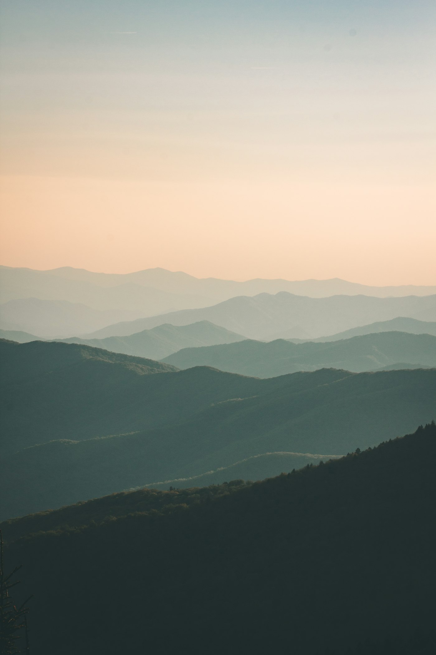
Where the mainland ends at 71°N
The North Cape (Nordkapp) lies on the island of Magerøya in the far north of West Finnmark, where a 307-metre cliff plateau drops straight into the Barents Sea at 71°10′21″ north. It is one of Norway’s most iconic destinations — the point “where the road ends”. In summer the midnight sun shines around the clock; in winter the plateau lies in polar night and aurora.
The journey out to the plateau
The road to the North Cape is an experience in itself. From Olderfjord you follow the E69 northwards, through the North Cape Tunnel beneath the sea and across to Magerøya. The road then passes the fishing village of Honningsvåg and out across a stark, beautiful island landscape to the plateau itself.
In winter the final stretch to the North Cape is often driven in convoy behind a snowplough because of weather and visibility. Check opening hours and convoy times before you set off.
📍
71°10′21″N
The North Cape plateau
⛰️
307 m
Cliff above the Barents Sea
🏘️
Honningsvåg
Nearest town and Hurtigruten port
🎬
North Cape Hall
Visitor centre on the plateau
More than the plateau itself
Honningsvåg is a lively fishing village and a port of call for the Hurtigruten coastal ferry, with hotels, restaurants and tour operators. From Gjesvær, bird safaris run to the Gjesværstappan nature reserve, where you can see puffins, gannets and white-tailed eagles up close.
Other experiences include king crab safaris, the walk to Kirkeporten, and a hike to Knivskjellodden — which actually reaches slightly further north than the North Cape plateau itself.
🧭
Practical
North Cape Hall is open year round, but hours vary by season. In winter expect convoy driving and possible road closures in bad weather. The plateau is often windy — dress well whatever the season, and check weather and road status before departure.
Tips
- ☀️Midnight sun from mid-May to late July.
- 🛏️Book accommodation in Honningsvåg well ahead in season.
- 🧥Bring wind- and waterproof clothing — the plateau is exposed.
- ❄️Check the convoy-driving times in winter before heading out.
Redo för Vest-Finnmark?
Se upplevelser, boende och restauranger på kartan.